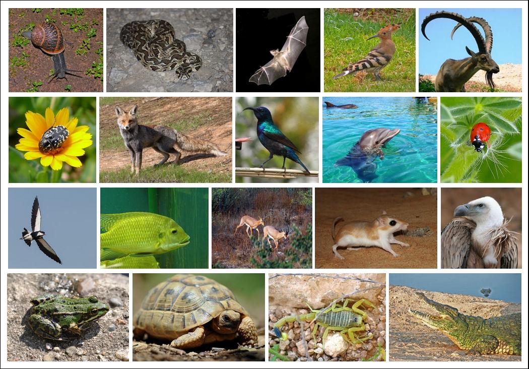
Wildlife Roadkill and the Road Most Traveled
In the unit, students will identify ways abiotic and biotic components work together in an ecosystem and what happens when it's disrupted through a analyzing wildlife roadkill in Arizona. Students will analyze graphs through the Arizona Department of Transportation Wildlife Roadkill report and look for hotspot trends in different districts and counties in Arizona, by sorting data. They will look in Google Maps and identify reasons why that location might attract wildlife by making inferences and using data and reasoning. Finally, they will using the engineering design process to design a model of a Wildlife Crossing bridge which can be a solution to help with wildlife roadkill hotspots.
Lesson Grade Level
5th GradeLesson Plan Link/URL
https://docs.google.com/presentation/d/1yXm5Ce9gtjUbA98-9ciLrDuzZgFu8yNE/edit?u…Subject Area
Science Life Science Technology 4. Innovative Designer 5. Computational Thinker Engineering S2: Apply the Engineering Design Process S3: Apply Mathematics to Engineering S5: Apply Technology to Engineering Mathematics Measurement and Data (MD) English Language Arts (ELA) Reading (Informational Text) Speaking & ListeningRelated Content

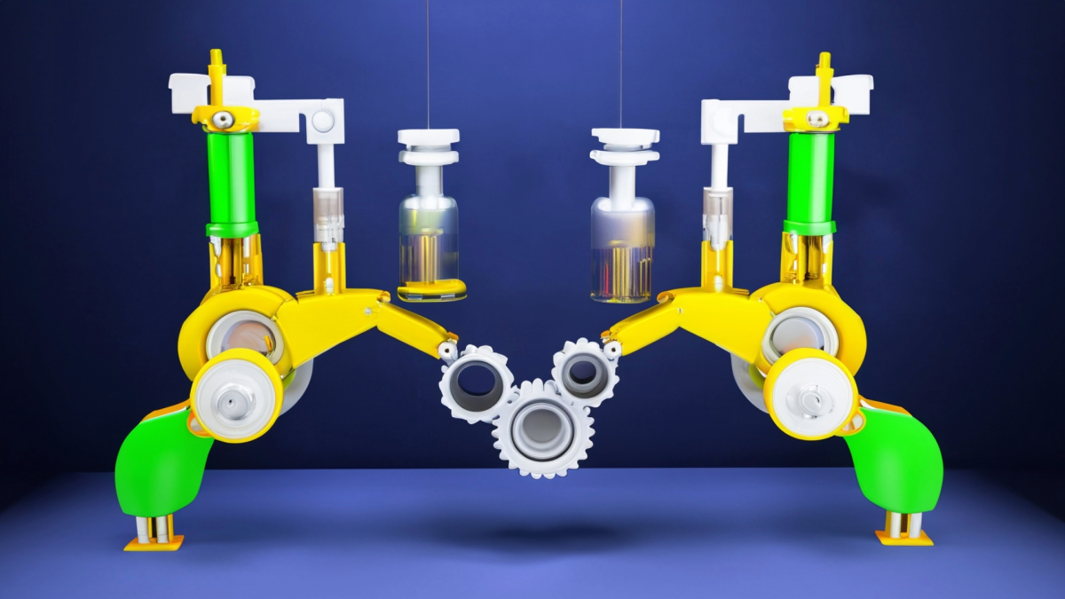
This lesson is part 1 of 2. This lesson is set up to have students explore the friction bridge designed by Leonardo Da Vinci. Students first discover the inventor and become familiar with his life
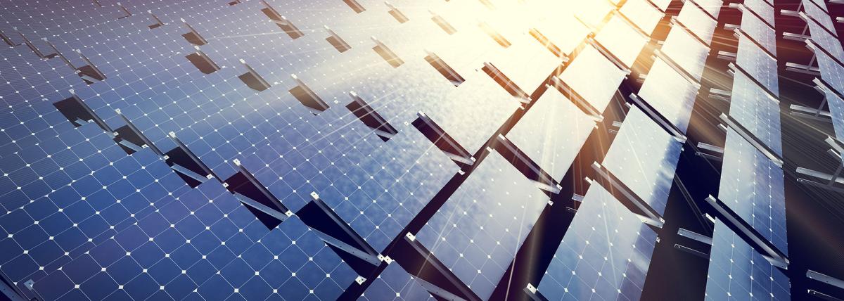
Empower with solar, motors & wireless! Unravel renewable energy, motor tech & wireless applications in an engaging STEM journey.