Mars Image Analysis
by Nancy Parra-Quinlan
Students will use known geographical features to identify landforms on images from the Mars Orbital Reconnaissance Satellite.
Lesson Plan Link/URL
https://docs.google.com/presentation/d/164iUlt8o6PWVL9AGTCOS5mG2cwcu03fG/edit?u…Subject Area
Science Earth and Space Science E2: Earth & the Universe Technology 5. Computational Thinker English Language Arts (ELA) Reading (Informational Text)
Featured
Off
Related Content

Grades:
3rd Grade, 4th Grade, 5th Grade, 6th Grade, 7th Grade, 8th Grade, 9th Grade
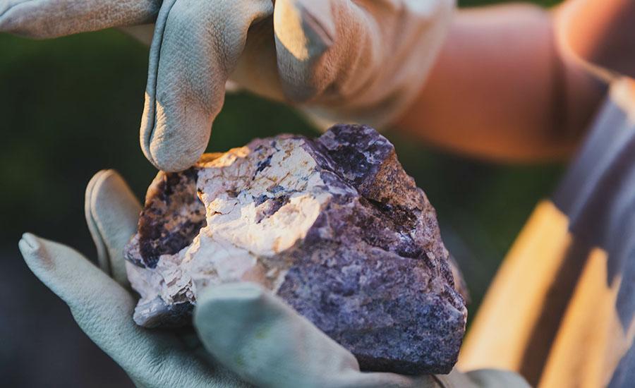
An overall view of mining, minerals, and their role in our everyday life. This lesson compares the past, present and future of mining and it's relativity to sustaining our way of life.

Grades:
6th Grade, 7th Grade, 8th Grade
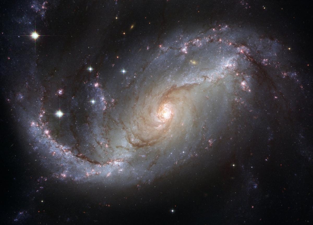
Students will explore how gravity plays a role in orbits and the attraction between objects in space, using online simulations. In addition to the online simulations this lesson contains ideas for

Grades:
6th Grade, 7th Grade, 8th Grade
This lesson is modeled after STEMAzing's lesson, "Picture Perfect Rover Cell Phone Holder”. Students will build a cell phone holder for their Edison Bot, plan a drive for the Bot to collect photos or